Introduction: The Crucial Role of Altitude Measurement
In the vast expanse of our atmosphere, knowing one's exact height above the Earth's surface is not just a matter of curiosity—it's often a question of life and death. From commercial airliners cruising at 35,000 feet to mountaineers scaling treacherous peaks, the ability to accurately measure altitude is paramount. This is where altimeters come into play, serving as the unsung heroes of vertical navigation.
Altimeters, devices designed to measure altitude, have evolved from simple barometric instruments to sophisticated electronic systems. Their applications span aviation, mountaineering, meteorology, and even space exploration. In this comprehensive exploration, we'll delve into the fascinating world of altimeters, uncovering the scientific principles that make them work and the technological advancements that have shaped their evolution.
The Fundamental Principle: Pressure and Altitude
At the heart of most altimeters lies a fundamental relationship between air pressure and altitude. As we ascend in the Earth's atmosphere, the air pressure decreases in a predictable manner. This relationship forms the basis for the most common type of altimeter: the pressure altimeter.
The Physics of Pressure Altimetry
The correlation between pressure and altitude is governed by the hydrostatic equation, which in its simplest form can be expressed as:
dP = -ρg dh
Where:
- dP is the change in pressure
- ρ (rho) is the density of air
- g is the acceleration due to gravity
- dh is the change in height
This equation tells us that for a given change in height (dh), there is a corresponding change in pressure (dP). The negative sign indicates that pressure decreases with increasing altitude.
In practice, the relationship between pressure and altitude is more complex due to variations in temperature and humidity. The International Civil Aviation Organization (ICAO) has established a standard atmosphere model that provides a reference for altimeter calibration. This model assumes a sea-level pressure of 1013.25 hectopascals (hPa) and a temperature lapse rate of 6.5°C per 1,000 meters of altitude increase.
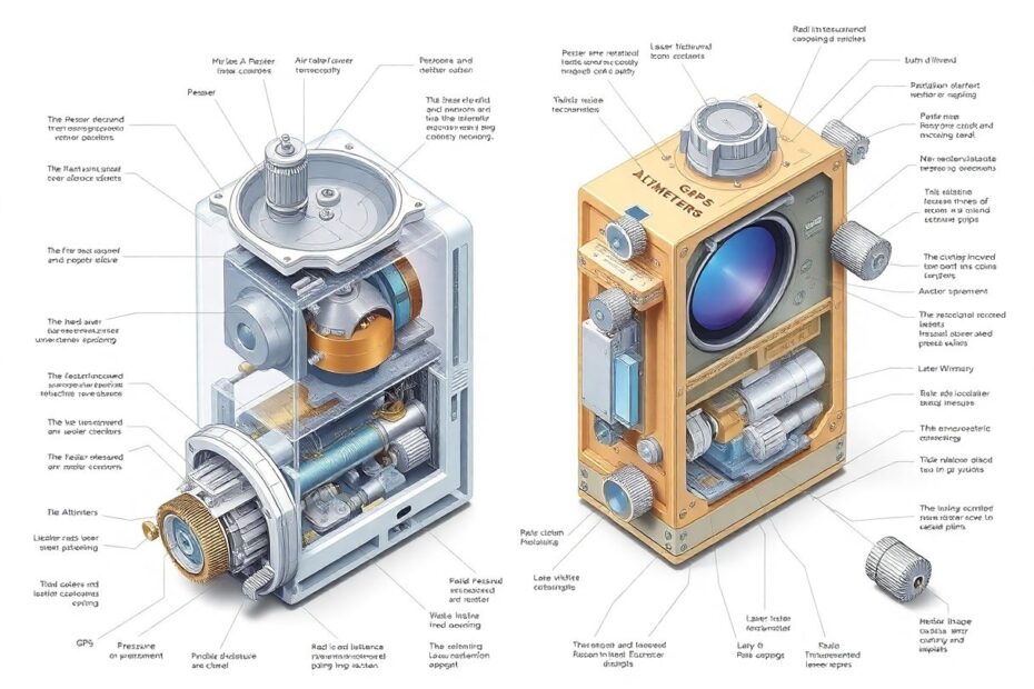
Types of Altimeters: From Mechanical to Electronic
Pressure Altimeters: The Aviation Workhorse
Pressure altimeters, also known as barometric altimeters, have been the mainstay of aviation for nearly a century. These devices use an aneroid barometer—a sealed, flexible metal chamber that expands or contracts with changes in air pressure. The movement of this chamber is mechanically amplified and translated into a reading on a calibrated dial.
Modern pressure altimeters in aircraft are typically calibrated in feet, with dial markings every 20 feet and numeric indicators every 100 feet. They also feature a Kollsman window, named after Paul Kollsman who invented the precise barometric altimeter in 1928. This window allows pilots to adjust the altimeter setting to account for local atmospheric pressure variations.
While remarkably reliable, pressure altimeters do have limitations. They can be affected by rapid weather changes and require regular recalibration. Additionally, they measure altitude relative to a pressure level, not necessarily the actual height above the ground.
Radio Altimeters: Precision at Low Altitudes
For situations requiring precise altitude measurements close to the ground, radio altimeters come into play. These devices emit radio waves downward and measure the time it takes for the signals to bounce back. Using the known speed of radio waves (approximately 299,792,458 meters per second in air), the altimeter can calculate the aircraft's height above the terrain.
The precision of radio altimeters is impressive, with accuracies often better than ±3 feet at lower altitudes. This makes them invaluable for operations like helicopter landings in challenging terrain or commercial aircraft performing instrument approaches in low visibility conditions.
GPS Altimeters: Global Positioning Meets Altitude
With the advent of the Global Positioning System (GPS), a new type of altimeter emerged. GPS altimeters determine altitude by triangulating signals from multiple satellites. While not as precise as pressure or radio altimeters for aviation use, GPS altimeters offer global coverage and are widely used in applications ranging from hiking and climbing to drone navigation.
GPS altitude measurements are typically referenced to the WGS84 ellipsoid—a mathematical model of the Earth's shape. For more practical applications, these measurements can be corrected to represent height above mean sea level using geoid models.
Laser Altimeters: Light-Based Precision
Pushing the boundaries of precision, laser altimeters use light detection and ranging (LIDAR) technology to measure altitude. By emitting short pulses of laser light and measuring the time for the reflected light to return, these devices can achieve remarkable accuracy, often within centimeters.
Laser altimeters have found applications in terrain mapping, forestry, and even planetary exploration. NASA's Mars Orbiter Laser Altimeter (MOLA), for instance, used this technology to create detailed topographical maps of the Martian surface, revolutionizing our understanding of the Red Planet's geology.
The Evolution of Altimetry: From Kollsman to Quantum
The history of altimeters is a testament to human ingenuity and the relentless pursuit of precision. From Paul Kollsman's groundbreaking design in the 1920s to the cutting-edge quantum sensors being developed today, altimeters have come a long way.
Kollsman's invention allowed for the first "blind" flight by Jimmy Doolittle in 1929, marking a pivotal moment in aviation history. The introduction of radio altimeters in the late 1930s further enhanced safety, especially for low-altitude operations.
The space race of the 1960s and 70s pushed altimeter technology to new heights, quite literally. Spacecraft required extremely precise altitude measurements for orbital maneuvers and landings. This era saw the development of radar altimeters capable of operating in the vacuum of space.
Today, we stand on the cusp of another revolution in altimetry. Researchers are exploring quantum sensing technologies that could provide unprecedented accuracy. These quantum altimeters could potentially measure altitude changes on the scale of individual atoms, opening up new possibilities for applications in geophysics and fundamental physics research.
Applications Beyond Aviation: From Peaks to Planets
While aviation remains the most well-known application for altimeters, these devices play crucial roles in numerous other fields:
Mountaineering and Hiking: Portable altimeters help climbers track their ascent and monitor acclimatization to high altitudes. Many modern outdoor watches incorporate barometric altimeters for this purpose.
Meteorology: Weather balloons equipped with altimeters provide valuable data on atmospheric conditions at different altitudes, contributing to weather forecasting and climate research.
Hydrology: Precise altitude measurements are essential for understanding water flow and managing water resources. Laser altimeters on satellites, like NASA's ICESat-2, monitor changes in ice sheet thickness and sea levels with remarkable accuracy.
Geology and Cartography: Airborne laser altimeters create high-resolution digital elevation models (DEMs) used in geological surveys, flood risk assessment, and map-making.
Space Exploration: Altimeters are crucial for spacecraft navigation, whether it's maintaining a precise orbit around Earth or executing a soft landing on another celestial body.
The Future of Altimetry: Challenges and Innovations
As we look to the future, several trends are shaping the evolution of altimetry:
Integration and Fusion: Modern systems increasingly combine multiple altimeter types (pressure, radio, GPS) to provide redundancy and improve accuracy across different operating conditions.
Miniaturization: The development of micro-electromechanical systems (MEMS) is enabling the creation of smaller, more energy-efficient altimeters. This is particularly important for applications in drones and wearable devices.
Artificial Intelligence: Machine learning algorithms are being employed to improve altimeter accuracy by accounting for complex atmospheric variations and terrain features.
Quantum Sensing: As mentioned earlier, quantum technologies promise to revolutionize precision measurements, potentially leading to altimeters of unprecedented accuracy.
Environmental Monitoring: With growing concerns about climate change, altimeters will play an increasingly important role in monitoring sea levels, ice sheet thickness, and other environmental indicators.
Conclusion: The Ongoing Ascent of Altimetry
From the cockpits of modern airliners to the farthest reaches of our solar system, altimeters continue to be indispensable tools for navigation and exploration. The science behind these devices—spanning fields from fluid dynamics to quantum physics—is a testament to human ingenuity and our quest to precisely measure our place in the world.
As we've seen, the seemingly simple question of "How high are we?" leads us on a journey through centuries of scientific discovery and technological innovation. Whether you're a pilot relying on your instruments to navigate through clouds, a hiker tracking your ascent up a mountain, or a scientist studying the changing face of our planet, altimeters provide the crucial data that keeps us oriented in the vertical dimension.
The future of altimetry promises even greater precision, integration, and applications. As we continue to push the boundaries of exploration—both on Earth and beyond—altimeters will undoubtedly remain at the forefront, guiding us to new heights of understanding and achievement.