In our increasingly connected world, it's easy to take constant internet access for granted. However, for travelers, outdoor enthusiasts, and those in areas with limited connectivity, having reliable offline navigation can be a game-changer. Enter Maps.me, a powerful mapping application that has revolutionized the way we navigate offline. This comprehensive guide will explore the features, benefits, and technological innovations behind Maps.me's free downloadable maps.
The Evolution of Maps.me: From Paid Pro to Free for All
Maps.me has an interesting history that reflects the changing landscape of mobile applications. Initially launched as a freemium app, Maps.me offered a basic version for free while reserving advanced features for a paid "Pro" version. However, in a move that delighted users worldwide, the entire app became free following its acquisition by Mail.Ru in late 2014. This strategic decision democratized access to high-quality offline navigation, making it available to everyone regardless of their financial means.
Understanding the Technology Behind Maps.me
At its core, Maps.me utilizes vector mapping technology, a sophisticated approach that offers several advantages over traditional raster maps. Vector maps store geographical data as mathematical formulas rather than pre-rendered images, allowing for smoother zooming, rotation, and a significantly smaller file size. This technology is crucial for Maps.me's offline functionality, as it enables users to download entire regions or countries without consuming excessive storage space on their devices.
The app's map data is sourced from OpenStreetMap (OSM), a collaborative project often referred to as the "Wikipedia of maps." This crowdsourced approach ensures that Maps.me's cartography is constantly evolving, with updates reflecting real-world changes often faster than commercial mapping services. The OpenStreetMap foundation estimates that over 1.5 million registered users contribute to the project, adding an average of 2 million changes to the map every day.
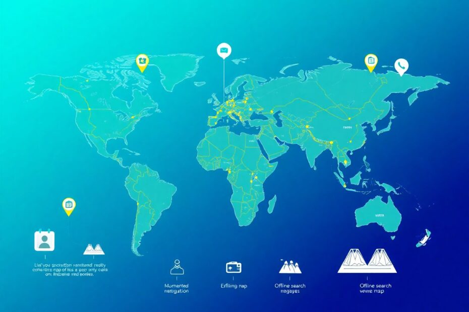
Downloading Maps: A Step-by-Step Guide
One of Maps.me's standout features is its intuitive map downloading process. Here's a detailed walkthrough:
- Upon opening the app, users are prompted to download maps for their current location.
- For planning ahead, tapping the "Download Maps" button reveals a list of countries and regions.
- Each map download size is clearly displayed, typically ranging from 10MB to 1GB depending on the area's size and detail.
- Users can queue multiple downloads, which occur in the background, even when the app is closed.
- Once downloaded, maps are immediately available for offline use, with no additional steps required.
This streamlined process sets Maps.me apart from competitors like Google Maps, which limits offline areas to smaller regions and requires manual re-downloading after a set period.
Maps.me's offline navigation capabilities are built on sophisticated algorithms that calculate routes without an internet connection. The app uses A* (A-star) pathfinding algorithm, a popular choice in computer science for its efficiency in finding the shortest path between two points. This algorithm, combined with the vector map data, allows Maps.me to provide turn-by-turn navigation instantly, even in areas with no cellular coverage.
Moreover, Maps.me incorporates advanced compression techniques to minimize the storage footprint of downloaded maps. According to the developers, their proprietary compression algorithm can reduce map sizes by up to 70% compared to uncompressed vector data, without sacrificing detail or functionality.
While offline maps are Maps.me's primary draw, the app offers several advanced features that appeal to tech-savvy users:
Augmented Reality Integration: In select cities, Maps.me offers an AR mode that overlays directional arrows and POI information on the camera view, providing an immersive navigation experience.
Elevation Profiles: For hikers and cyclists, the app can generate detailed elevation profiles for routes, utilizing topographic data to display altitude changes over distance.
Offline Search: The app employs a sophisticated indexing system that enables rapid searching of millions of points of interest and addresses, all without an internet connection.
Customizable Data Layers: Users can toggle various map layers, including public transport routes, cycling paths, and hiking trails, tailoring the map display to their specific needs.
OpenStreetMap Editing: For those interested in contributing to the map data, Maps.me provides an interface for making small edits and additions directly within the app, which are then submitted to the OpenStreetMap project for review.
To truly appreciate Maps.me's offerings, it's valuable to compare it with other popular navigation applications:
Google Maps: While Google Maps is the industry standard for online navigation, its offline capabilities are limited. Users can only download small areas, and features like transit directions and place details are often unavailable offline. Maps.me excels in providing comprehensive offline functionality across entire countries.
OsmAnd: Another app based on OpenStreetMap data, OsmAnd offers similar offline capabilities to Maps.me but with a steeper learning curve. Maps.me's user interface is generally considered more intuitive and user-friendly.
HERE WeGo: This app offers offline navigation but relies on its proprietary map data. While this can lead to more consistent quality in some regions, it lacks the rapid updates and local knowledge often found in OpenStreetMap-based apps like Maps.me.
Organic Maps: A fork of Maps.me that focuses on privacy, Organic Maps removes all tracking and ads. However, it lacks some of the more advanced features found in Maps.me, such as the AR mode and OpenStreetMap editing capabilities.
Maps.me's decision to make all features free has had a significant impact on global navigation practices. In developing countries where data connectivity is limited or expensive, Maps.me has become an essential tool for both locals and travelers. The app's offline functionality allows users to navigate confidently without concerns about data usage or roaming charges.
Furthermore, the app's reliance on OpenStreetMap data has spurred increased contributions to the project, particularly in underrepresented areas. This virtuous cycle improves map quality for all users and promotes a more equitable distribution of geographical information.
Future Developments and Technological Advancements
As technology continues to evolve, Maps.me is poised to incorporate new advancements to enhance its offerings. Potential future developments include:
Machine Learning for Route Optimization: Implementing AI algorithms to predict traffic patterns and suggest optimal routes based on historical data and real-time inputs.
Enhanced 3D Mapping: Utilizing photogrammetry and LIDAR data to create more detailed 3D models of cities and landmarks for improved visual navigation.
Integration with IoT Devices: Connecting with smart city infrastructure to provide real-time updates on parking availability, public transport schedules, and other urban services.
Improved Offline POI Data: Developing more sophisticated compression and storage techniques to include richer point of interest information in offline maps.
Collaborative Navigation: Implementing features that allow users to share routes, points of interest, and real-time location information with others, even in offline environments.
Maps.me's free downloadable maps represent a significant leap forward in mobile navigation technology. By combining sophisticated vector mapping, efficient compression algorithms, and the collaborative power of OpenStreetMap, Maps.me offers a robust solution for offline navigation that rivals and often surpasses its commercial counterparts.
For tech enthusiasts and travelers alike, Maps.me provides an opportunity to explore the world with confidence, free from the constraints of constant internet connectivity. As the app continues to evolve and incorporate new technologies, it stands as a testament to the power of open-source collaboration and the democratization of geographical information.
Whether you're planning an off-grid adventure, navigating a new city, or simply looking to reduce your reliance on cellular data, Maps.me's free downloadable maps offer a powerful, versatile, and technologically advanced solution. In an era where connectivity is often taken for granted, Maps.me reminds us of the value of having the world's maps at our fingertips, regardless of our internet status.